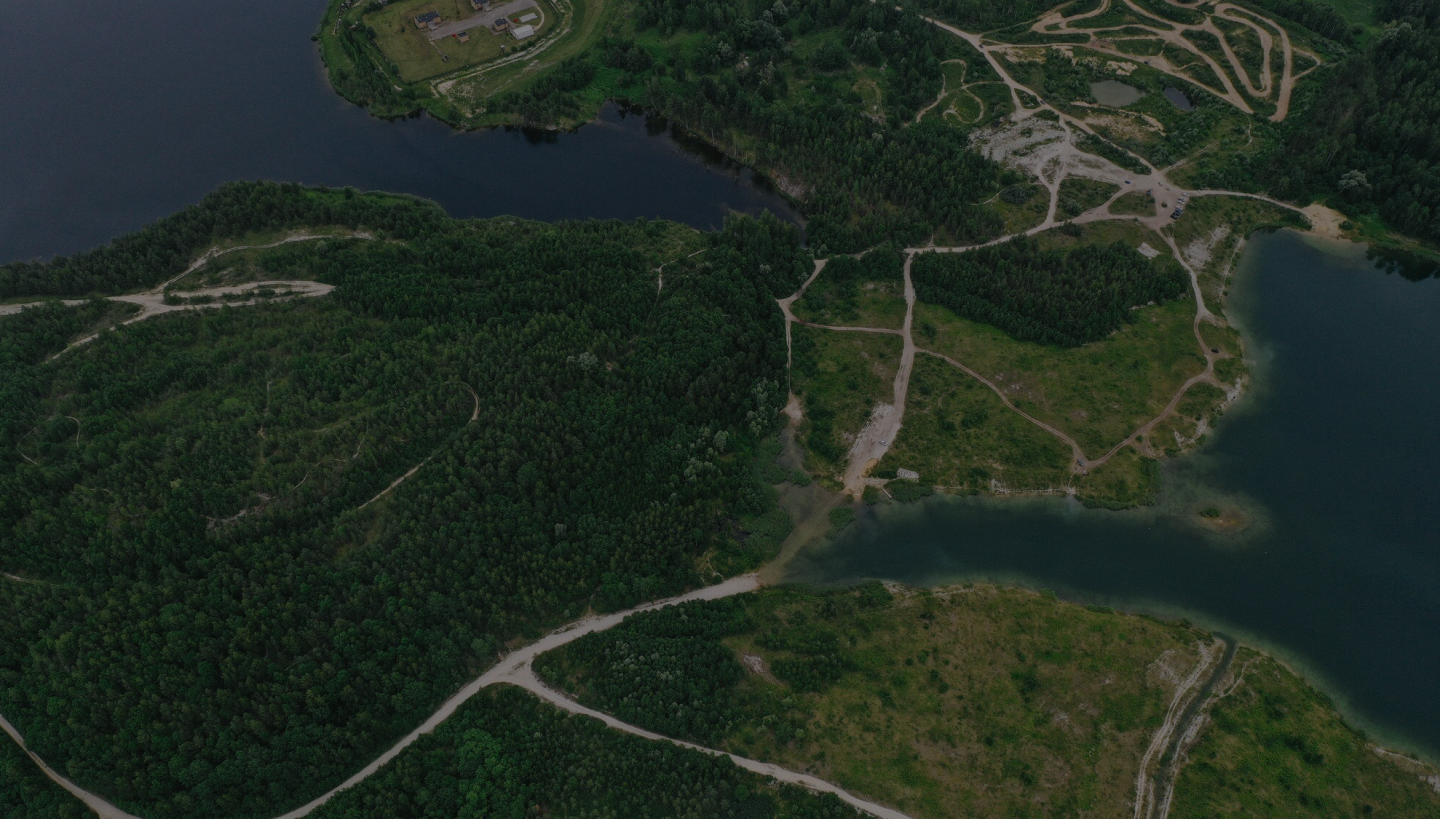
視覺化探索地球的每一個角落
展示、紀錄並傳遞地球任何事物的資訊,透過視覺化與數據整合,讓世界的每個細節盡收眼底。
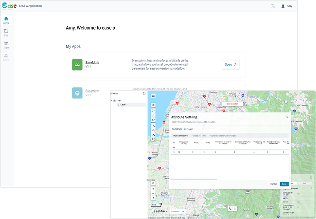
可視化的地球資訊雲端平台
不同領域應用程式
平台提供多款地球資訊相關應用程式,讓不同領域的資訊能夠相互使用。
多人團隊協作
平台允許多人協作,您可以建立自己的團隊或加入別人的團隊來取得相關資源。
資料儲存與共享
資料都能儲存並管理於平台的雲端上,您也能任意分享您的檔案給其他人。

任何人都能體驗 Ease
學生
探索地球資訊,培養對萬物的細緻觀察力與興趣,並深化對地球生態與環境的理解。
研究者
根據研究者的專業領域提供專屬應用程式,協助研究者更快速取得並整合研究資訊,縮短研究時間以提升成果產出。
關心地球的任何人
透過 Ease 探索地球的每個角落,讓每一位關心地球的人都能輕鬆理解我們所生活的這個世界。
